
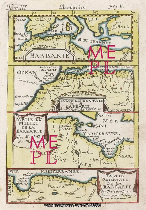


 : MAP / NW AFRICA 1719


MAP/NW AFRICA 1719

North-west Africa, showing portions of Barbary, land of the Berbers, known to Europeans as barbarians (today Morocco, Tunisia &c)

Picture No
10032393
Media ID
47198594
Size
3977px x 5696px (2.7MB)
Credit
Mary Evans Picture Library
Source
Allain Manesson Mallet, Atlas of the world
Date
1719

Pick your License

Please tell us the book title or ISBN

Please supply intended use


1719 Barbarians Barbary Berbers Portions


Features In These Collections

> Contributors > MEP


© Copyright Mary Evans Picture Library - All Rights Reserved 2026
Powered by Media Storehouse®
We accept all major payment options so you can pay for the things you need in the way that is most convenient for you
Facebook     Twitter     Instagram