
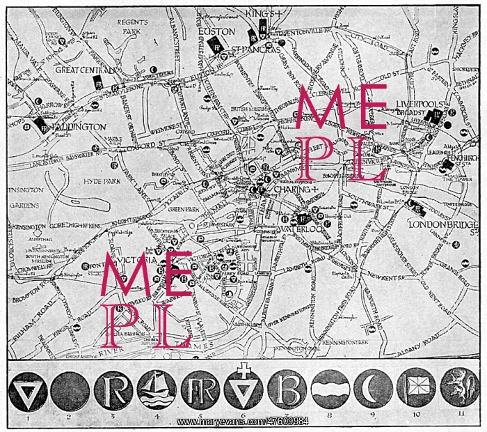
Map of YMCA shelters around London during WW1
A map showing the various YMCA huts available for soldiers and sailors in the capital on leave during the First World War, though The Graphic magazine, who published this picture, note that there were far more (in 1917) than when the map was originally compiled by the Civic Survey of Greater London for the City of London National Guard, who have done great excellent work as cicerones for returning warriors
Picture No
10794254
Media ID
47609984
Size
4700px x 4160px
(2.4MB)
Credit
Mary Evans Picture Library
Source
Illustration from The Graphic, 30 December 1916
Date
1917
Pick your License
Accommodation Civic Clubs Huts Shelters Survey Ymca
Features In These Collections
> Contributors > MEP


