
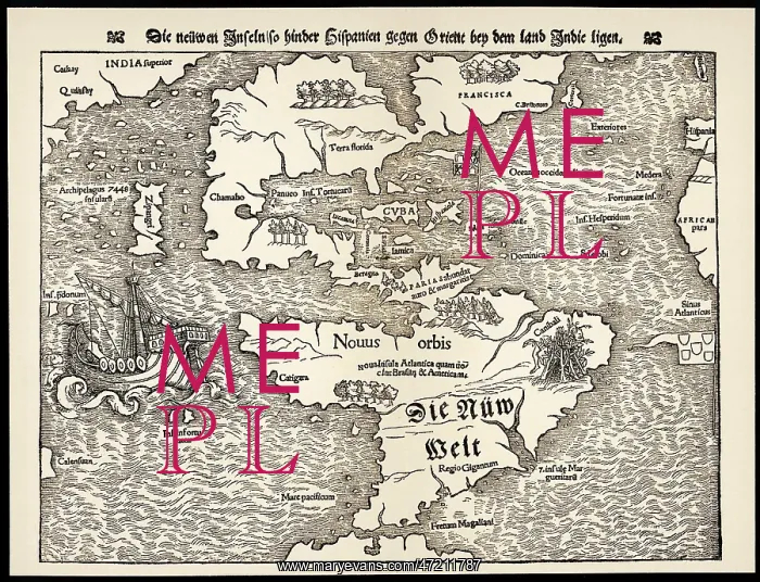
Maps - Americas 1540
Map showing the discoveries by explorers during the first half-century after Columbus : note the confusion of India, Japan (Zipangri) and China (Cathay), and the Hesperides
Picture No
10029704
Media ID
47211787
Size
4138px x 3168px
(2.5MB)
Credit
Mary Evans Picture Library
Source
Sebastian Munster, Cosmographia Universalis
Date
1540
Pick your License
1540 Americas Cathay Columbus Confusion Discoveries Explorers Hesperides
Features In These Collections
> Contributors > MEP


