
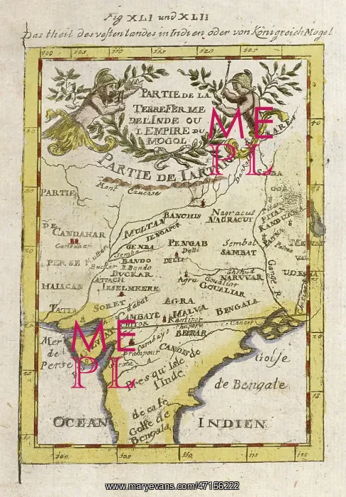
MAPS, ASIA, INDIA 1719
Crude map of northern India, previous to any extensive colonisation, including parts of Pakistan and Bangladesh and the sources of two great rivers the Ganges and Indus. A map with ornate title cartouche and floral surrounds
Picture No
10015680
Media ID
47156222
Size
3105px x 4453px
(2.0MB)
Credit
Mary Evans Picture Library
Source
Hand-coloured copper engraving after Alain Manesson Mallet Description de l'Univers Vol.II. Dutch text
Date
1719
Pick your License
1719 Bangladesh Cartouche Colonisation Crude Extensive Ganges Indus Previous Source Surrounds
Features In These Collections
> Contributors > MEP


