
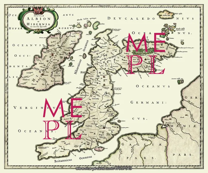
Albion - map of the British Isles, c. 1654
An antique map of the British Isles, entitled "Insulae Albion et Hibernia cum minoribus adjacentibus" by Johanes Blaeu, circa 1654
Picture No
10910397
Media ID
47637549
Size
18000px x 15000px
(97MB)
Credit
Mary Evans Picture Library/Mapseeker Publishing
Source
Map by Johanes Blaeu, with original outline colouring, c. 1645
Date
Circa 1654



























