
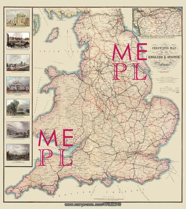
Cheffins Map of the English and Scotch Railways
Detailed map of the railways and stations of England and Wales, showing lines open and the lines under construction in the year 1848. The map also shows the lines for which Acts of Parliament were obtained in 1846 and 1847. The work is complemented with seven attractive historical images from around the time the map was originally produced
Picture No
13464529
Media ID
47822310
Size
10512px x 11811px
(70MB)
Credit
Mary Evans Picture Library / Mapseeker Publishing
Source
Remastered from an original Antique print from the Mapseeker Archive
Date
1848



























