
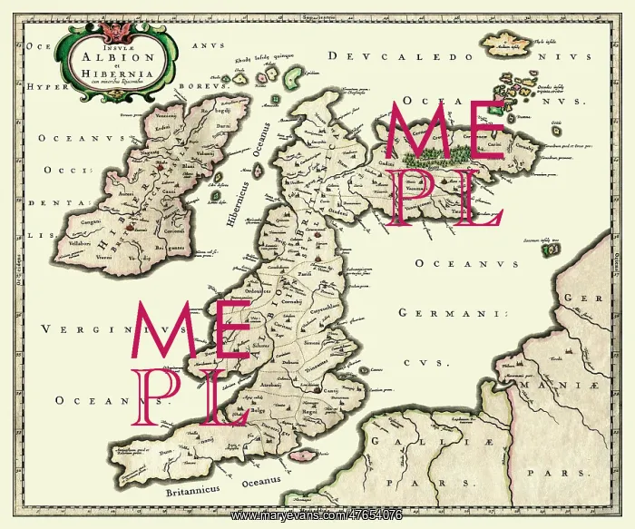
Map of England and Scotland - 17th Century - Johan Blaeu
Insulae ALBION et HIBERNIA by Johan Blaeu (Map of England and Scotland) - 17th Century
Picture No
10996848
Media ID
47654076
Size
4724px x 3937px
(12.3MB)
Credit
Mary Evans Picture Library/Mapseeker Publishing
Source
Original map by Johan Blaeu (1654) from the Mapseeker Collection
Date
1654



























