
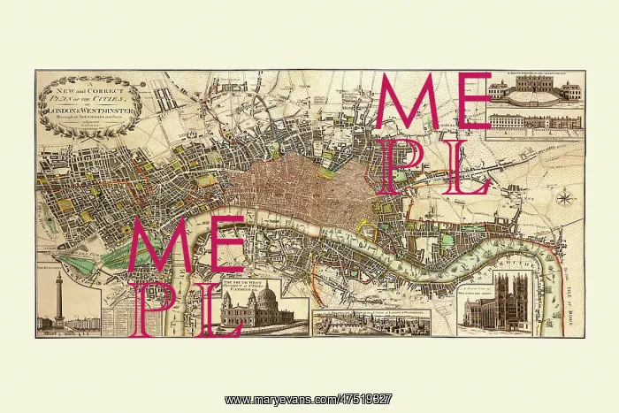
Map of London in 1796
A new and correct plan of the cities, London and Westminster showing the River Thames from 9th March 1796
Picture No
10238313
Media ID
47519327
Size
7200px x 4800px
(28.0MB)
Credit
Mary Evans Picture Library/Mapseeker
Source
Haines and Son, 1796
Date
1796



























