
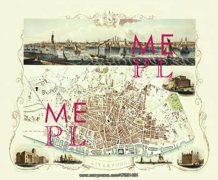
Tallis map of Liverpool, 1851
Map or plan of Liverpool published by John Tallis in 1851. The map is enlivened by a view across the River Mersey from Birkenhead to the Victorian Liverpool skyline, and shows the extensive Liverpool Docks. Other illustrations show the Custom House, St George's Hall, the Sailors Home, and steamboats and sailing ships
Picture No
10527574
Media ID
47551484
Size
8772px x 7272px
(38.7MB)
Credit
Mary Evans Picture Library/Mapseeker Publishing
Source
Plan drawn and engraved by J Rapkin, illustrations drawn and engraved by H Winkles, published by John Tallis, 1851
Date
1851



























