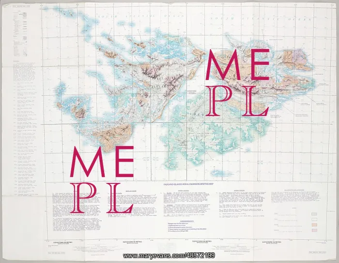
Falkland Islands Royal Engineer briefing map, 1982
Falkland Islands Royal Engineer briefing map, 1982 (c); with typescript annotations relating to the condition and passibility of airfields, roads and tracks by tracked and wheeled vehicles. From papers relating to the South Atlantic (Falklands War) (1982), collected by 24057159 WO2 David Langham, 81 Ordnance Company, Royal Army Ordnance Corps
Picture No
11109562
Media ID
48572199
Size
3000px x 2323px
(1.9MB)
Credit
©The National Army Museum / Mary Evans Picture Library
Source
Map
Date
circa 1982
Pick your License
24057159 Airfields Annotations Briefing Collected Falkland Falklands Langham Ordnance Relating Tracked Typescript Wheeled
Features In These Collections
> Contributors > NAM