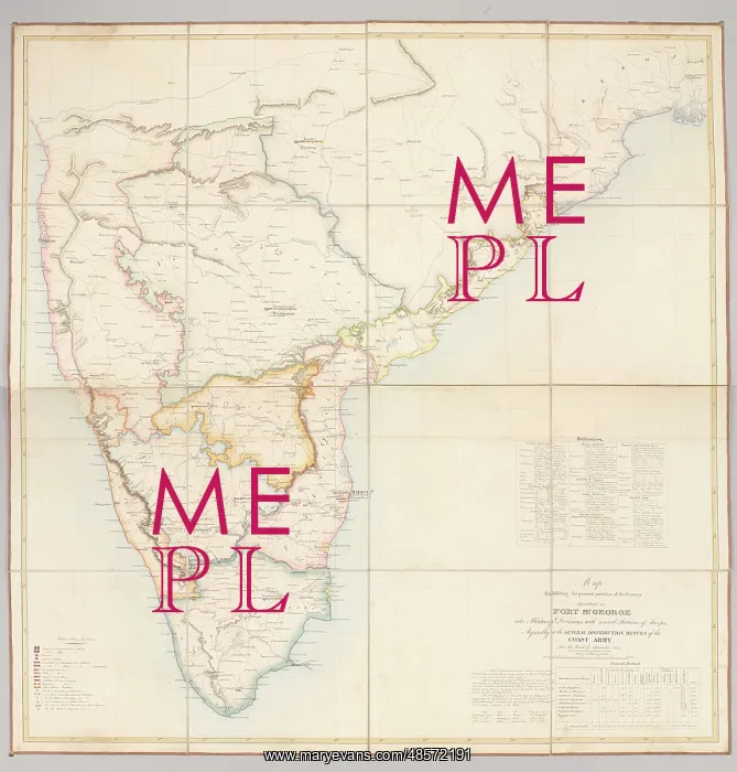
Map Exhibiting the present partition of the Country
Pen, ink and watercolour map: Map Exhibiting the present partition of the Country dependent on Fort St. George into Military Divisions with several Stations of Troops. Agreeably to the General Distribution Return of the Coast Army For the Month of September 1843. In addition to giving the distribution of the regiments of both the crown and the East India Company, this map also indicates the whereabouts of companies of veterans
Picture No
11109556
Media ID
48572191
Size
2866px x 3000px
(1.9MB)
Credit
©The National Army Museum / Mary Evans Picture Library
Source
Map
Date
1843
Pick your License
1843 Addition Companies Dependent Distribution Divisions Exhibiting Indicates Madras Partition Veterans Whereabouts
Features In These Collections
> Contributors > NAM