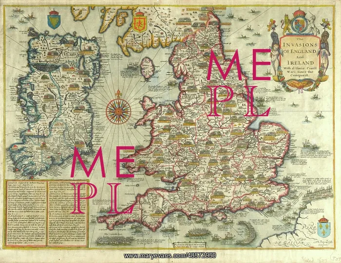
Map: The Invasions of England and Ireland - 1627
Map: The Invasions of England and Ireland With al [sic] their Civill [sic] Wars since the Conquest Corn Danckertsz sculpsit [London] George Humble, 1627 (c). Framed hand-coloured and engraved map by John Speed. Depicts the locations of various battles, invasions and naval engagements in the British Isles since 1066, including the Wars of the Roses (1455-1485) and the Spanish Armada (1586-1588)
Picture No
11109678
Media ID
48572950
Size
3000px x 2319px
(3.3MB)
Credit
©The National Army Museum / Mary Evans Picture Library
Source
Map
Date
circa 1627