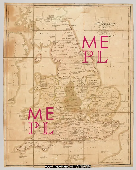
Map - Praehagraphy of England
Praehagraphy of England, being a map of that Kingdom illustrative of the principle battles fought in it. Engraved map showing the principle battles fought in England, 55 BC-1745; by the geographer, Mr Wauthier; published by Dichir and Tibett, St James St, London, 23 Jun 1807
Picture No
11109557
Media ID
48572193
Size
2403px x 3000px
(2.3MB)
Credit
©The National Army Museum / Mary Evans Picture Library
Source
Map
Date
55 BC
Pick your License
1745 1807 Fought Geographer Illustrative Principle
Features In These Collections
> Contributors > NAM