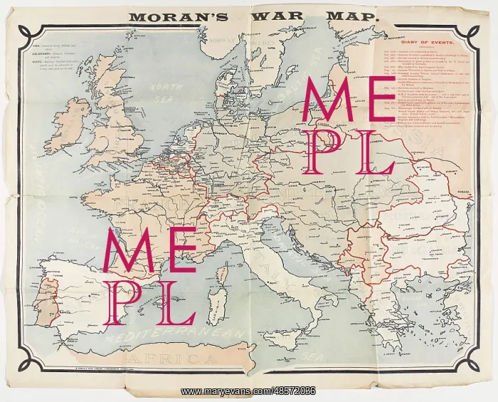
Moran's War Map, coloured to show Britain and her Allies
Map: Moran's War Map, coloured to show Britain and her Allies, Germany and Austria-Hungary, and the neutral nations at the outbreak of the First World War. Created by E Moran and Sons Limited, Sunderland;. Belonged to Pte J Harrison (4308), 3rd Division British Expeditionary Force. Includes notes on the key events from 23 Jul to 12 Aug 1914 which lead to the outbreak of War. Associated with World War One, Outbreak of War (1914)
Picture No
11109527
Media ID
48572036
Size
3000px x 2423px
(2.6MB)
Credit
©The National Army Museum / Mary Evans Picture Library
Source
Map
Date
1914
Pick your License
Belonged Expeditionary Includes Moran Morans Neutral Outbreak Sunderland
Features In These Collections
> Contributors > NAM