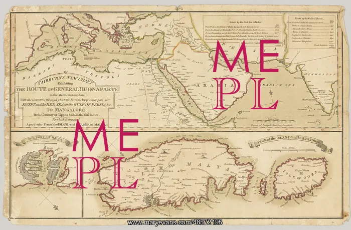
Three printed coloured maps
Three printed coloured maps: Fairburn's New Chart Exhibiting the Route of General Buonaparte in the Mediterranean Sea; with the Countries through which the French Army must pass, viz Egypt and the Red Sea; or the Gulf of Persia, and to Mangalore in the Territory of Tippoo Sahib, in the East Indies. To which is annexed A Particular Plan of the Island and Harbour of Malna. Published 13 Aug 1798. Associated with the Wars of the French Revolution, Egypt (1799-1801)
Picture No
11109558
Media ID
48572195
Size
3000px x 1968px
(2.1MB)
Credit
©The National Army Museum / Mary Evans Picture Library
Source
Map
Date
1798
Pick your License
1798 1799 1801 Annexed Buonaparte Exhibiting Gulf Mysore Particular Persia Sahib Tippoo
Features In These Collections
> Contributors > NAM