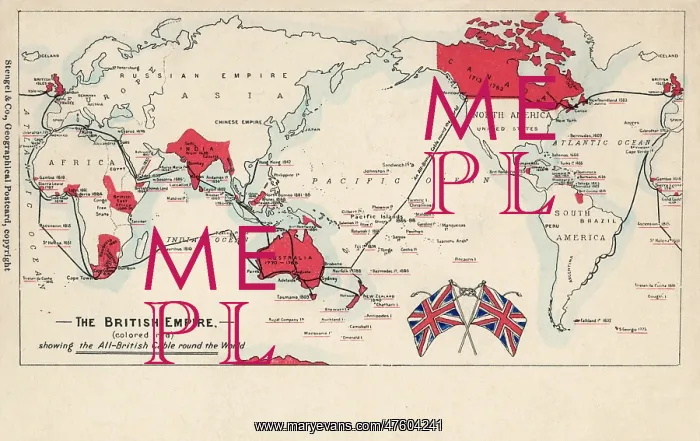
Map of British Empire showing international cable
Map of the British Empire (coloured red), showing the All-British international cable going round the world, enabling telegraphic communication
Picture No
10811165
Media ID
47604241
Size
5100px x 3213px
(3.2MB)
Credit
Mary Evans / Pharcide
Source
Unattributed postcard
Date
circa 1902