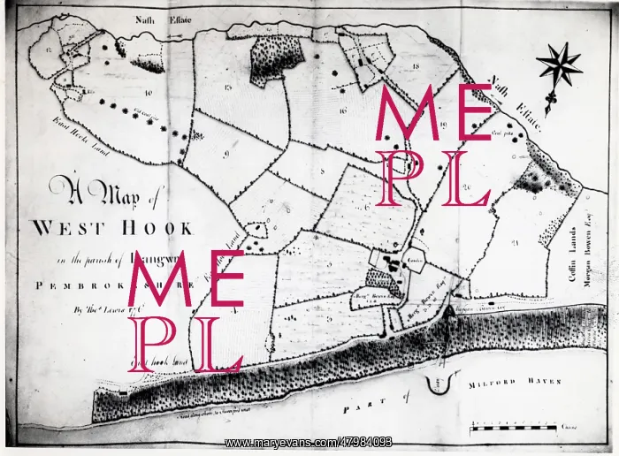
Colliery map of Hook, Pembrokeshire, South Wales
A colliery map (by Thomas Lewis) of the village of Hook, described here as West Hook in the parish of Langwn (Llangwm), showing fields, trees and mining locations. Hook is on the Western Cleddau near Haverfordwest, Pembrokeshire, South Wales
Picture No
10428809
Media ID
47984093
Size
5817px x 4289px
(4.1MB)
Credit
Mary Evans / Roger Worsley Archive
Source
Photograph in The Roger Worsley Archive
Date
1776
Pick your License
1770s 1776 Cleddau Coalmine Colliery Estuary Haverfordwest Hook Llangwm Pembrokeshire
Features In These Collections
> Contributors > RWO