
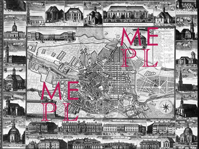
City map of Berlin, around 1750
This city map, created around 1750, shows the south-facing city of Berlin with its various suburbs. Views of churches and important buildings are grouped around the map
Picture No
13536483
Media ID
48275280
Size
4958px x 3710px
(3.6MB)
Credit
© Mary Evans / Sueddeutsche Zeitung Photo
Usage Restrictions
Editorial Use Only - No model release, no property release. No commercial, merchandising or advertising use without release by SZ Photo
Source
SZ Photo - Scherl
Date
1740
Pick your License
Restrictions Only for Canada and Curacao and United Kingdom and United States Of America
1740 1750 Grouped Overview Spree Suburb Suburbs Tiergarten
Features In These Collections
> Contributors > SDZ


