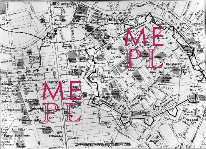
City map of Berlin, around 1935
On this city map of Berlin the former fortifications and bastions were traced. The plan below probably represents the state of the city around 1935, as the Reich Ministry for Popular Enlightenment and Propaganda is located in Wilhelmstrasse
Picture No
13536485
Media ID
48275283
Size
4956px x 3608px
(2.5MB)
Credit
© Mary Evans / Sueddeutsche Zeitung Photo
Usage Restrictions
Editorial Use Only - No model release, no property release. No commercial, merchandising or advertising use without release by SZ Photo
Source
SZ Photo - SZ Photo
Date
1933
Pick your License
Restrictions Only for Canada and Curacao and United Kingdom and United States Of America
Bastion Bastions Enlightenment Fortifications Linden Network Outline Overview Represents Spree Stitch Traced Unter Wilhelmstrasse
Features In These Collections
> Contributors > SDZ