
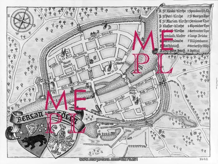
Map of Berlin, c. 1442
This geospatial map shows Berlin and Alt-Kolln with churches and streets around the year 1442
Picture No
13536473
Media ID
48275261
Size
4958px x 3736px
(1.6MB)
Credit
© Mary Evans / Sueddeutsche Zeitung Photo
Usage Restrictions
Editorial Use Only - No model release, no property release. No commercial, merchandising or advertising use without release by SZ Photo
Source
SZ Photo - SZ Photo
Date
1442
Pick your License
Restrictions Only for Canada and Curacao and United Kingdom and United States Of America
1442 Alt-kolln Berlin-mitte Geospatial Overview Spree
Features In These Collections
> Contributors > SDZ


