
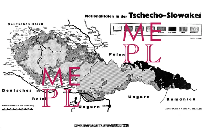
Map of Czechoslovakia and its adjacent states, 1938
A map of the distribution of nationalities in Czechoslovakia and its adjacent states of September 22, 1938
Picture No
13323387
Media ID
48344708
Size
4957px x 3190px
(1.3MB)
Credit
(c) Mary Evans / Sueddeutsche Zeitung Photo
Usage Restrictions
No model release, no property release. No commercial, merchandising or advertising use without release by SZ Photo
Source
SZ Photo - Knorr + Hirth
Date
1938
Pick your License
Restrictions Only for Canada and Curacao and United Kingdom and United States Of America
Adjacent Csfr Cssr Distribution Nationalities Slovakia Sudeten Sudetenland
Features In These Collections
> Contributors > SDZ


