
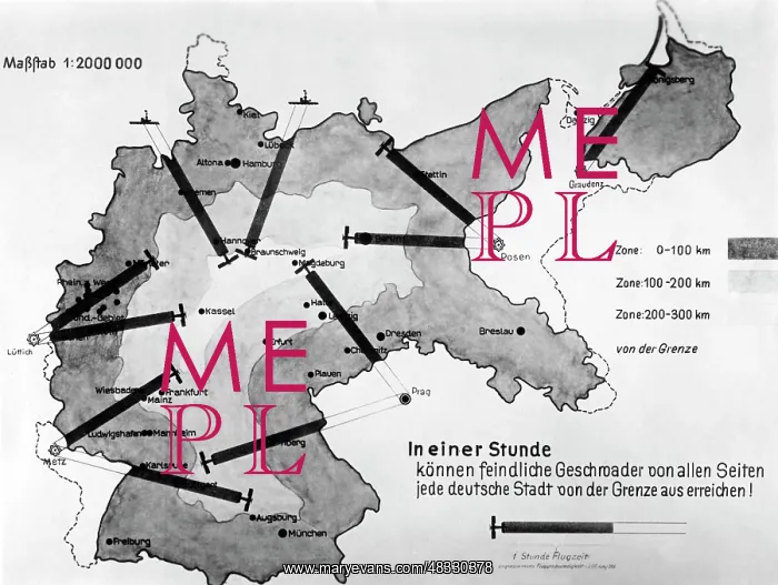
Map over a range of Allied planes, around the 1930s
This map is intended to illustrate how defenseless Germany was, that it was exposed to hostile combat aircrafts under the Treaty of Versailles. Within an hour any German city could be attacked, states the message of the map (Undated photo)
Picture No
13327453
Media ID
48330378
Size
4962px x 3740px
(1.2MB)
Credit
(c) Mary Evans / Sueddeutsche Zeitung Photo
Usage Restrictions
No model release, no property release. No commercial, merchandising or advertising use without release by SZ Photo
Source
SZ Photo - SZ Photo
Date
1930
Pick your License
Restrictions Only for Canada and Curacao and United Kingdom and United States Of America
Aircrafts Attacked Defenseless Exposed Hostile Illustrate Intended Internal Message Policies Routes
Features In These Collections
> Contributors > SDZ


