
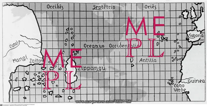
World Map of Toscanelli from the 15th century
Recorded: 01.01.1400 - 12.31.1499. The world map of Paolo dal Pozzo Toscanelli. Zippangu stands for Japan, Mangi for India, the dark areas in the middle are not part of the original map, but show the position of the later discovered continent of America
Picture No
11788039
Media ID
48231156
Size
3534px x 1821px
(883KB)
Credit
© Mary Evans / Sueddeutsche Zeitung Photo~~
Usage Restrictions
No Model Release, No Property Release, no manipulation. No commercial, merchandising or advertising use without release by SZ Photo
Source
SZ Photo
Date
1400
Pick your License
Restrictions Only for Canada and Curacao and United Kingdom and United States Of America
1400 1499 Columbus Continent Discovered Paolo Pozzo Recorded Toscanelli
Features In These Collections
> Contributors > SDZ


