Arnhem and Nijmegen Bridge, Netherlands, WW2
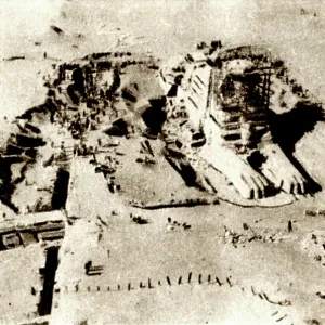
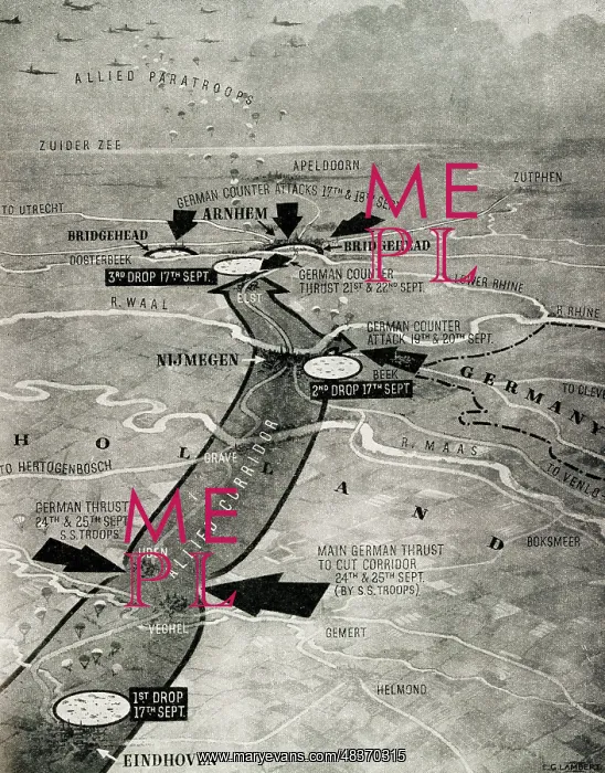
Map of the area around Arnhem, with the Nijmegen Bridge over the River Waal, Lower Rhine, Netherlands, September 1944, WW2 - the three main points where Allied paratroopers were dropped on 17-18 September (light grey circles), with dark arrows showing local German attacks. The bridge was successfully taken by airborne forces and British Second Army troops afer fierce fighting
Picture No
13658250
Media ID
48370315
Size
3715px x 4740px
(10.8MB)
Credit
Mary Evans Picture Library
Usage Restrictions
Editorial Use Only
Source
The Sixth Year of War in Pictures, p45, map drawn by E G Lambert
Date
1944