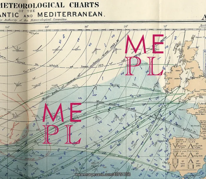
RMS Titanic - shipping chart of North Atlantic
RMS Titanic - shipping chart of North Atlantic for the month of April 1912, Sheet 133, Meteorological Office, London. The chart is in colour and displays wind, sea current, sea temperature, limits of field ice, limits of icebergs, wireless telegraphy stations, submarine signal stations, magnetic variation, routes for sailing vessels, steamships, and low-powered steamships, and great circle routes. The reverse has several smaller charts displaying air pressure for March (with names of reporting ships) and sea and air temperatures for February. Also notes on sea temperature, sea ice, Arctic ice in 1911, and derelict ships (floating wooden hulks). A similar chart would have been available to the Titanic and ships travelling the North Atlantic in April 1912
Pick your License
Available Charts Current Derelict Displaying Displays Hazards Hulks Icebergs Isles Limits Magnetic Meteorological Names Pressure Routes Similar Smaller Steamships Telegraphy Temperature Temperatures Variation Wireless
Features In These Collections
> Contributors > HAL