Skip to main content
search
pictures@maryevans.com
020 8318 0034
Explore
Contributors
Mood Boards
Inspiration
Trending
About Us
Contact Us
Account
Lightboxes
Print Store
Sign In
Charts
<
1
2
3
4
5
6
7
8
>
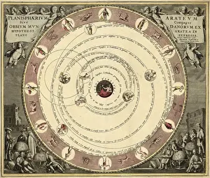
Planisphaerium Arateum, Geocentric Celestial Map, 17th C
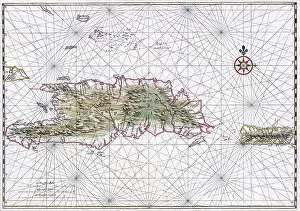
Nautical Chart of Hispaniola, 1639
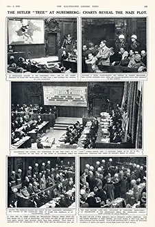
Nuremberg trials, 1945
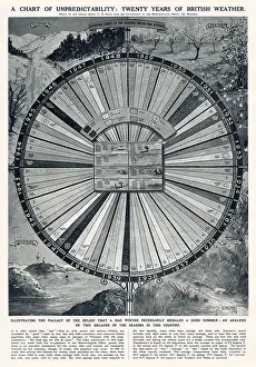
Twenty year chart of unpredictable British weather
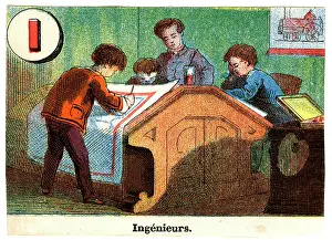
French Railway Alphabet - I
Nativity's of birth charts of Louis XVI
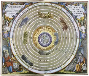
Ptolemy's geocentric astronomical model
William Bligh (1754-1817) English naval officer
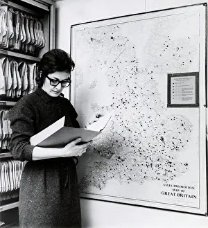
SPR OFFICE - GHOST MAP 1
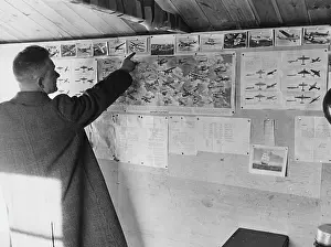
Aircraft Observer Post, WWII
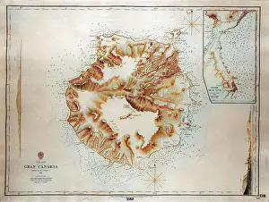
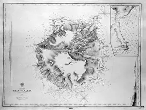
Map of Gran Canaria, Canary Islands
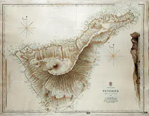
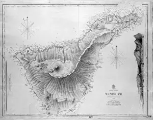
Map of Tenerife, Canary Islands
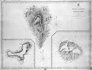
Map of Palma, Gomera and Hierro, Canary Islands
Map of Fuerteventura, Canary Islands
Navigation Instrument, Nocturnal, 17th Century
Navigation Instrument, Nocturnal, 17th Century
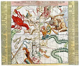
Ottens Regional Sky Chart
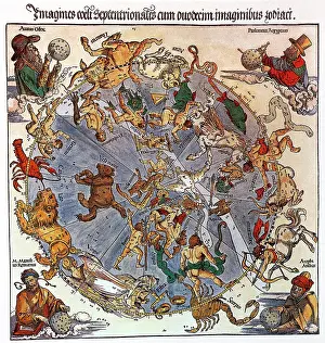
Durer's Star Charts
Business Conference
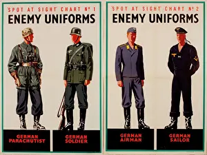
Two posters, Spot at Sight, Enemy Uniforms, WW2
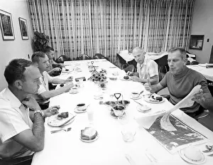
Apollo 11, Prime Crew Prelaunch Breakfast, 1969
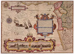
West Africa, 1596
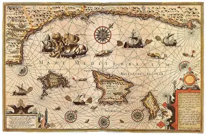
Mediterranean Sea, 1595
Geographer, by Johannes Vermeer
Ptolemaic View of the Universe
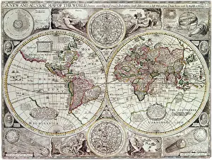
Map of the World, 1627
Meteorologia, Astronomical Instruments, 1709
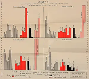
Poster, Chart II, growing vegetables, WW2
View of Santa Cruz, Tenerife, Canary Islands
Map of Tenerife, Canary Islands
Map of Palma, Gomera and Hierro, Canary Islands
Map of Gran Canaria, Canary Islands
Map of Fuerteventura, Canary Islands
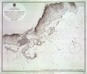
Map of Naos and Arrecife, Lanzarote, Canary Islands
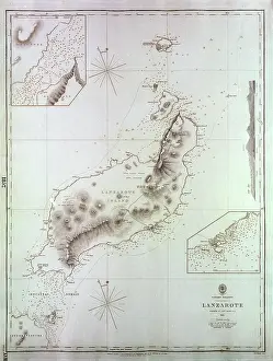
Map of Lanzarote, Canary Islands
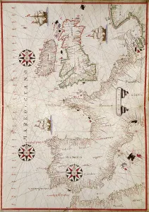
Map of Western Europe, 1590
Early Victorian view of Vauxhall Station near Birmingham
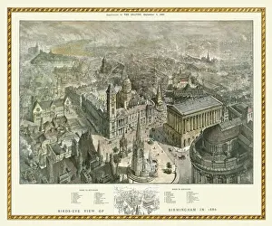
Late Victorian Birds Eye View of Birmingham
Georgian view of the Royal Hotel, Birmingham
Swan with Two Necks Inn, Aston Street, Birmingham
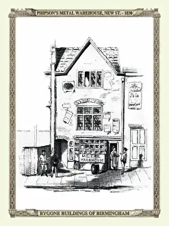
Phipson's Metal Warehouse, New Street, Birmingham
The Nelson Hotel, later the Dog Inn, Birmingham
The Hen and Chicken Hotel, New Street, Birmingham
Georgian view of the Castle Inn, High Street, Birmingham
The Cullet, Lichfield Street, Birmingham
The Malt Shovel Inn, Smallbrook Street, Birmingham
The Presbyterian Meeting House, Birmingham
Dudley Street, corner Old Meeting Street, Birmingham
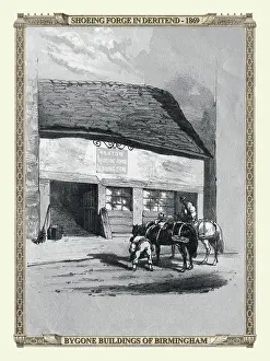
Shoeing Forge in Deritend, Birmingham
Houses and shops in Edgbaston Street, Birmingham
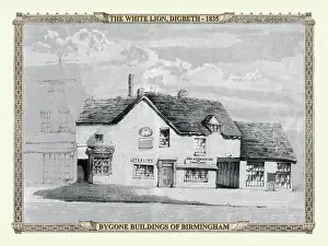
Georgian view of the White Lion, Digbeth, Birmingham
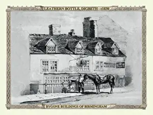
The Leathern Bottle Inn, Digbeth, Birmingham
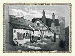
Early Victorian view of Old Buildings in Digbeth, Birmingham
Early Victorian view of St Martins Lane, Birmingham
Shops in Bull Street corner Crooked Lane, Birmingham
Mid Victorian view of Houses in Moor Street, Birmingham
Concreve Street and Ann Street, Birmingham
Georgian view of Houses in High Street, Birmingham
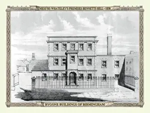
Mess'rs Whateley's premises, Bennetts Hill, Birmingham
Georgian view of High Street, Birmingham
Worcester Street, corner of Edgbaston Street, Birmingham
Georgian view of Pinfold Street, Birmingham
Tripe House, Digbeth, and House in Bull Street, Birmingham
Georgian view of Dudley Street, Birmingham
Georgian view of the Old Ship Inn, Camp Hill, Birmingham
Georgian view of the Old Engine Inn, Dale End, Birmingham
Bottom of Pinfold Street and Navigation Street, Birmingham
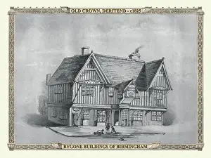
Georgian view of the Old Crown, Deritend, Birmingham
The Whip Manufactory, New Street, Birmingham
Georgian view of The Golden Lion Inn, Deritend, Birmingham
Attwood and Spooners Bank, New Street, Birmingham
High Street and the Court of Requests, Birmingham
Bull Street corner of Crooked Lane, Birmingham
The Dog and Duck Tavern, Holloway Head, Birmingham
Georgian view of the Post Office, New Street, Birmingham
Dale End and corner of Moor Street, Birmingham
New Street, corner of Worcester Street, Birmingham
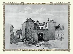
Georgian view of the Old Prison, Birmingham
Early Victorian view of the Bull Ring, Birmin gham
Early Prospect View of St Philips Church, Birmingham
Georgian view of Birmingham New Street
Georgian view of the Swann Hotel, Birmingham
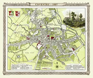
Early 19th Century map of Coventry, England
<
1
2
3
4
5
6
7
8
>
© Copyright Mary Evans Picture Library - All Rights Reserved 2026
Powered by
Media Storehouse
®