
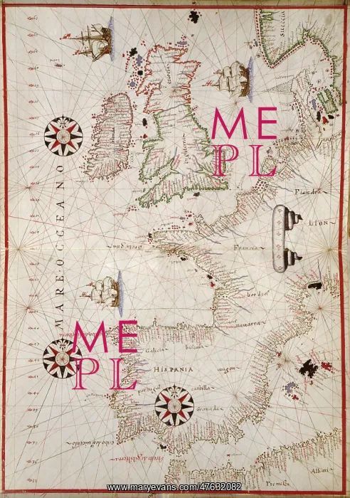
Map of Western Europe, 1590
16th century map of Western Europe. Published around 1590, this map shows the coasts of Western Europe and the Mediterranean, and forms part of a portolan atlas (a collection of navigational charts) by the cartographer Joan Oliva, who was active from 1580-1615. Several compass roses and artworks of sailing ships adorn the oceans, while the coasts are heavily annotated with the names of rivers, ports and bays. The lines on the map are rhumb lines, designed to make it easier to steer a straight course. Although the shape of the British Isles and the Scandinavian coastlines is distorted, maps like this were among the best available at the time
Pick your License
Restrictions Only for Ireland and United Kingdom
1500s 1590 Charts Navigational Oliva Portolan
Features In These Collections
> Contributors > PHR





























