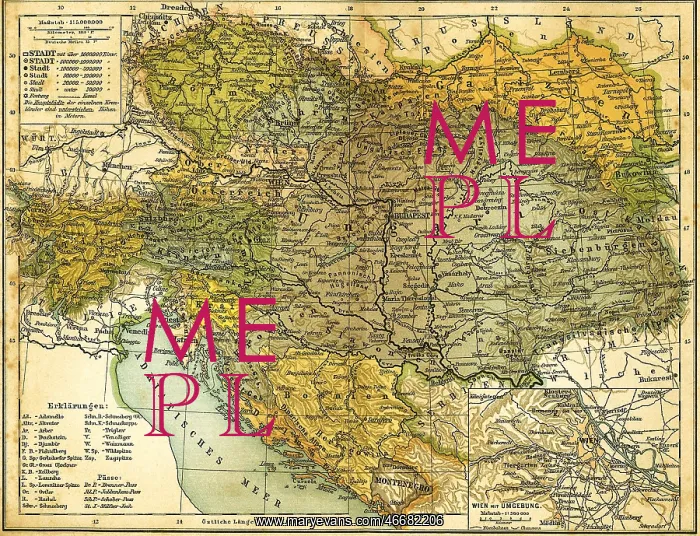
Austria-Hungary Map 1910
cartography, map, Austria-Hungary, circa 1910, as well as the Vienna and its surrounding area
Picture No
10559683
Media ID
46682206
Size
3440px x 2635px
(7.3MB)
Credit
Mary Evans / INTERFOTO / Sammlung Rauch
Source
from Kuerschners Universal-Konversationslexikon, after W. Keil und Fr. Riecke, German school atlas, printed by Koerner &
Date
Pick your License
Restrictions Only for Ireland and United Kingdom and United States Of America
Adriatic Banat Bohemia Bosnia Brno Budapest Bukovina Carinthia Carniola Croatia Dalmatia Danube Galicia Graz Hercegovina Hrvatska Istria Krakow Linz Lviv Montenegro Moravia Praha Salzburg Sava Slavonia Styria Surrounding Tisza Trento Trieste Tyrol Vorarlberg
Features In These Collections
> Contributors > IFO