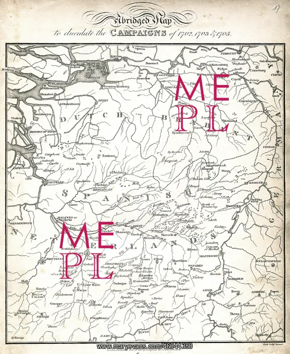
cartography, historical maps, map of Dutch Brabant
cartography, historical maps, map of Dutch Brabant and the Spanish Netherlands at the beginning of the 18th century, 1818
Picture No
10469072
Media ID
46044350
Size
3827px x 4674px
(8.9MB)
Credit
INTERFOTO / Sammlung Rauch / Mary Evans
Pick your License
Restrictions Only for Ireland and United Kingdom and United States Of America
1818 Antwerp Brabant Maastricht Meuse Scheldt Waal
Features In These Collections
> Contributors > IFO