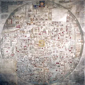
cartography, historical maps, modern times, British
cartography, historical maps, modern times, British Islands at time of Tudors 1485 - 1603
Picture No
10456937
Media ID
46664819
Size
2761px x 3260px
(6.2MB)
Credit
INTERFOTO / Prof.Mag. Michael Floiger /