cartography, map of the area around Ghent and
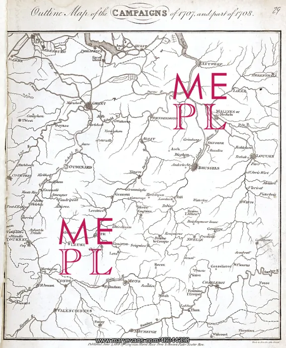
cartography, map of the area around Ghent and Brussels, at the time of the War of the Spanish Succession 1701 - 1714, published in 1818
Picture No
10469086
Media ID
46044398
Size
4033px x 4897px
(6.6MB)
Credit
INTERFOTO / Sammlung Rauch / Mary Evans
Pick your License
Restrictions Only for Ireland and United Kingdom and United States Of America
1701 1707 1708 Antwerp Charleroi Conde Courtrai Ghent Louvain Malines Maubeuge Mons Oudenaarde Oudenarde Sambre Succession Valenciennes
Features In These Collections
> Contributors > IFO