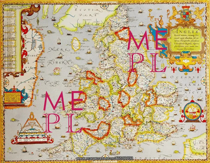
cartography, maps, Great Britain, England during
cartography, maps, Great Britain, England during the reign of Queen Elizabeth I, drawn by Christopher Saxton, coloured copper engraving by August Ryther, 1579
Picture No
10458444
Media ID
46503393
Size
5538px x 4305px
(20.5MB)
Credit
INTERFOTO / Bildarchiv Hansmann / Mary E
Source
private collection,
Pick your License
Restrictions Only for Ireland and United Kingdom and United States Of America
Features In These Collections
> Contributors > IFO