
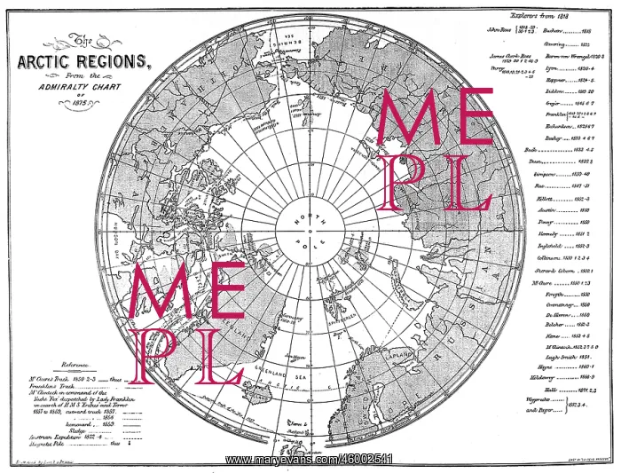
The Admiralty Chart of the Arctic Region 1875
A map of the Arctic region, produced by the British Admiralty. Although mostly complete, the blank area around the North Pole shows the area that had not yet been visited and charted by explorers
Picture No
10217701
Media ID
46002541
Size
5642px x 4292px
(2.6MB)
Credit
© Illustrated London News Ltd/Mary Evans
Source
The Graphic. 1875. page 525
Date
1875





























