
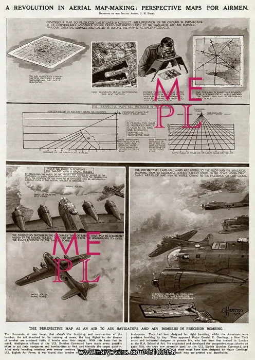
Aerial map-making by G. H. Davis
A revolution in aerial map making during the Second World War: perspective maps for airmen. Used as an aid to air navigators and air bombers in precision bombing
Picture No
10652057
Media ID
46100956
Size
4221px x 5951px
(4.9MB)
Credit
© Illustrated London News Ltd/Mary Evans
Source
Illustration by George Horace Davis in The Illustrated London News', 25 December 1943, p707
Date
1943





























