
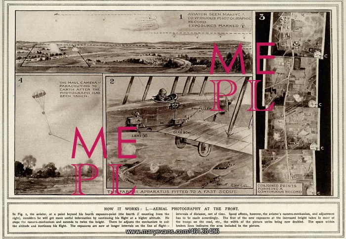
Aerial photography in World War One
A illustrated explanation of the uses of and how aerial photography worked in World War One. Aerial photography was introduced as an additional means of observation, although its initial suggestion was met with varying levels of scepticism. A step by step illustration, accompanied by text shows how pilots would capture observational photographs of the land, which were then joined together to create a satellite style map
Picture No
12495185
Media ID
46128486
Size
5783px x 3993px
(5.9MB)
Credit
© Illustrated London News Ltd/Mary Evans
Source
Illustration in Illustrated War News, 1915
Date
1915





























