
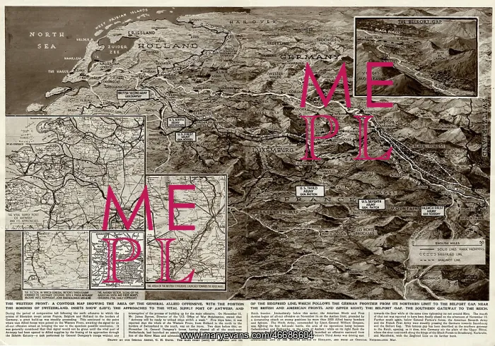
Contour map of Western Front by G. H. Davis
The Western Front: a contour map showing the area of the general Allied offensive at this stage of the Second World War. Showing the Siegfried Line, the supply port of Antwerp, the British and American fronts, and the Belfort Gap
Picture No
10653138
Media ID
46686604
Size
6463px x 4523px
(5.2MB)
Credit
© Illustrated London News Ltd/Mary Evans
Source
Illustration by George Horace Davis in The Illustrated London News', 25 November 1944, pp598-9
Date
1944





























