Invasion coast of Normandy by G. H. Davis
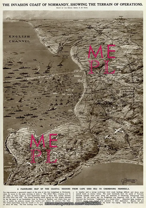
The invasion coast of Normandy, showing the terrain of operations during the Second World War. A panoramic map of the coastal regions from Cap Gris Nez to the Cherbourg Peninsula
Picture No
10653122
Media ID
46686384
Size
4218px x 5990px
(4.8MB)
Credit
© Illustrated London News Ltd/Mary Evans
Source
Illustration by George Horace Davis in The Illustrated London News', 17 June 1944, p671
Date
1944