
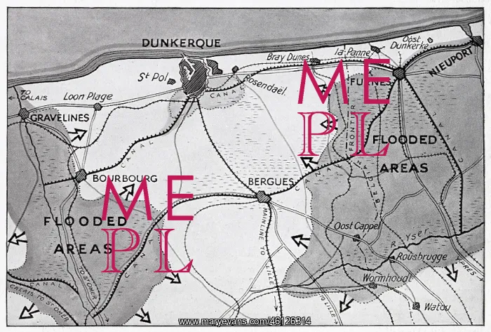
Map of Dunkirk area during the evacuation, WW2
Map of the Dunkirk area in northern France during the evacuation, showing two flooded areas of low-lying meadow land which assisted in the Allied retreat
Picture No
12914772
Media ID
46126314
Size
5798px x 3917px
(5.4MB)
Credit
© Illustrated London News Ltd/Mary Evans
Source
Map in The Sphere', 8 June 1940, page 299
Date
1940
Pick your License
Dunkirk Evacuated Evacuation Expeditionary Flooded Nov19 Rescued Retreat Retreated Saved
Features In These Collections
> Contributors > ILN





























