
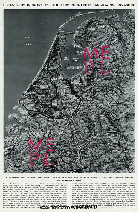
Map of Low Countries by G. H. Davis
Defence by inundation: the Low Countries bar against invasion. A pictorial map drawn in the early weeks of the Second World War, showing the main zones in Holland and Belgium which would be flooded should an emergency arise
Picture No
10651988
Media ID
46100810
Size
3484px x 5348px
(2.5MB)
Credit
© Illustrated London News Ltd/Mary Evans
Source
Illustration by George Horace Davis in The Illustrated London News', 21 October 1939
Date
1939
Pick your License
Flooded Flooding Horace Inundation Pictorial Zones Zuider
Features In These Collections
> Contributors > ILN





























