
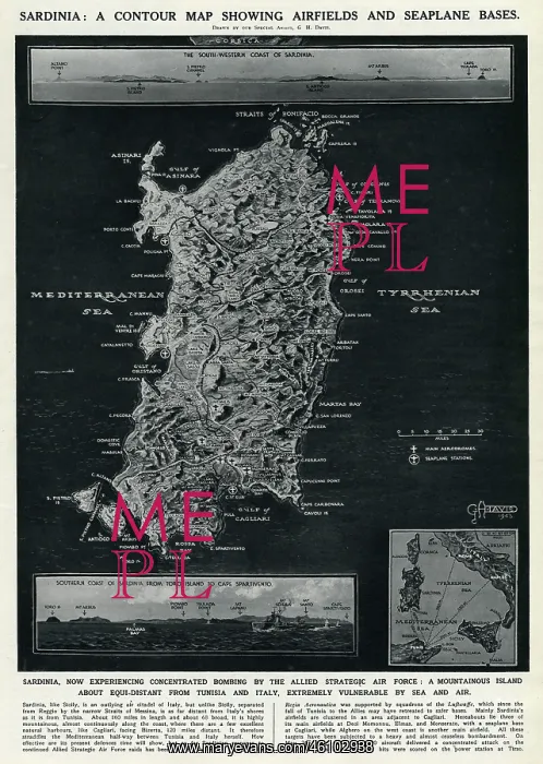
Map of Sardinia by G. H. Davis
A contour map of Sardinia, showing airfields and seaplane bases during the Second World War. The island was experiencing concentrated bombing by the Allied Strategic Air Force
Picture No
10653077
Media ID
46102938
Size
4245px x 5968px
(3.7MB)
Credit
© Illustrated London News Ltd/Mary Evans
Source
Illustration by George Horace Davis in The Illustrated London News', 5 June 1943, p617
Date
1943
Pick your License
Airfields Bases Concentrated Contour Horace Mountainous Sardinia Seaplane Strategic Tyrrhenian
Features In These Collections
> Contributors > ILN





























