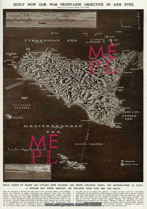
Map of Sicily by G. H. Davis
A contour map of Sicily, giving the shortest air distances from Cape Bon and Malta. At this stage in the Second World War it was a British front-line objective in Axis eyes, a target of major air attacks on Palermo and other strategic points, and the stepping stone to Italy
Picture No
10653075
Media ID
46102929
Size
4125px x 5862px
(3.8MB)
Credit
© Illustrated London News Ltd/Mary Evans
Source
Illustration by George Horace Davis in The Illustrated London News', 15 May 1943, p539
Date
1943