
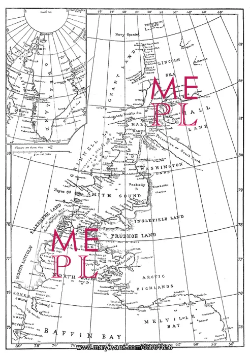
Map of Smith Sound and Greenland, 1875
Engraving showing a map of Smith Sound and Greenland, as it was known in May 1875. Much of the map is erroneous or missing in detail, as the Arctic area had been little visited by Europeans up to that time. In the summer of 1875 the British Admiralty sent Captain George Nares with two ships, HMS Alert and HMS Discovery, to make an attempt to reach the North Pole via Smith Sound. The attempt was unsuccessful, but a new furthest North record was set, the coasts of Greenland and Ellesmere Island were further charted and much scientific data gathered
Picture No
10217614
Media ID
46001656
Size
4133px x 5879px
(1.8MB)
Credit
© Illustrated London News Ltd/Mary Evans
Source
Illustrated London News. 1875. page 513. By E.G. Ravenstein
Date
1875





























