
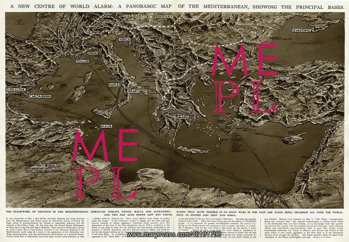
Panoramic map of Mediterranean by G. H. Davis
A new centre of world alarm during the Second World War: a panoramic map of the Mediterranean, showing the principal bases. The framework of strategy in the Mediterranean: Gibraltar, Toulon, Naples, Malta and Alexandria -- names that have figured in so many wars in the past -- are again being discussed all over the world. This map also shows new key points, such as Rhodes, Izmit and Haifa
Picture No
10652616
Media ID
46101790
Size
6518px x 4516px
(4.7MB)
Credit
© Illustrated London News Ltd/Mary Evans
Source
Illustration by George Horace Davis in The Illustrated London News', 11 May 1940, pp628-9
Date
1940





























