
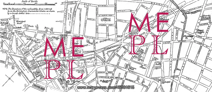
Sketch map of proposed improvements, Birmingham
Sketch map of a locality around Stafford Street in Birmingham with the proposed new street running through it. The boundary of the unhealthy area referred to in the Birmingham Improvement Scheme as shown by a broad dotted line
Picture No
10222051
Media ID
46004615
Size
7399px x 3235px
(3.0MB)
Credit
© Illustrated London News Ltd/Mary Evans
Source
The Illustrated London News. 16 December 1876. p. 604
Date
16 December 1876
Pick your License
Boundary Dotted Improvement Improvements Locality Proposed Referred Scheme Stafford Unhealthy
Features In These Collections
> Contributors > ILN





























