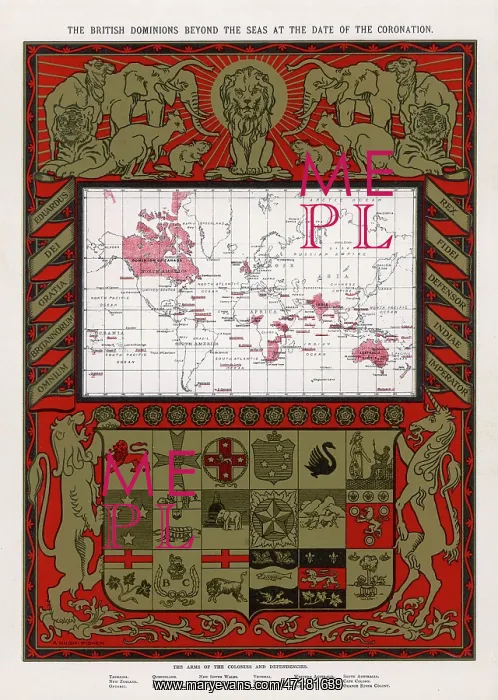


 : BRITISH EMPIRE MAP 1902


BRITISH EMPIRE MAP 1902

Map showing the extent of the British Empire in 1902 - the Empire on which the sun never sets

Picture No
10025389
Media ID
47181639
Size
3091px x 4344px (1.8MB)
Credit
© Illustrated London News Ltd/Mary Evans
Source
G Amato in the Illustrated London News special issue for the coronation of Edward VII
Date
1902
Pick your License

Please tell us the book title or ISBN

Please supply intended use


Extent Imperialism


Features In These Collections

> Contributors > MEI

Gallery Wall Inspiration

Interior of the Free Library, Liverpool
St. Nicholas Church and Signal Tower, Liverpool
Dinner Time at the Clare-Market Ragged School 1869
COVENT GARDEN 1847
HIGHLAND REEL/TULLOCH
LOCH NESS MONSTER
Demonstration at Mulla (Mullagh), Tullamore
OXFORD V CAMBRIDGE 1866
OXFORD V CAMBRIDGE 1877
Collision off Point Lynas
TITANIC LAST MOMENTS
Liverpool Illustrated - Lime Street
The Custom House, Liverpool
Liverpool Illustrated - The Exchange news rooms
Liverpool - A conversazione at the Art Club
Sailors Home, Liverpool
Warehouses, Back Goree, Liverpool
The Savidge Enquiry: A Matter of Urgent Public Importance
Liverpool masthead - Graphic supplement 1877
SIERRA LEONE/MATACONG
Advert for Humber bicycles 1889
Garibaldi visiting Elms railway 1864
Marconi using Kite Aerial to get Signal 1901
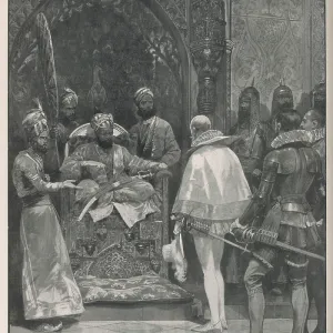
MILDENHALL IN INDIA 1599
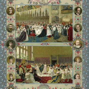
EDWARD VII/WEDDING 1863
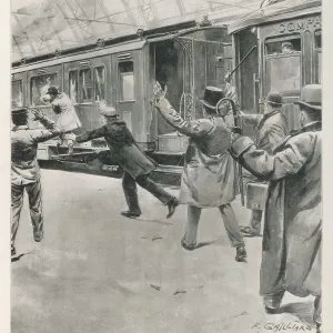
Edward, Prince of Wales, attacked 1900
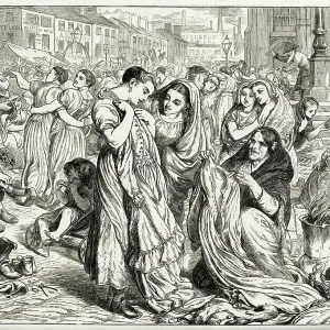
The old clothes market, camp field, Manchester 1870


© Copyright Mary Evans Picture Library - All Rights Reserved 2026
Powered by Media Storehouse®
We accept all major payment options so you can pay for the things you need in the way that is most convenient for you
Facebook     Twitter     Instagram