
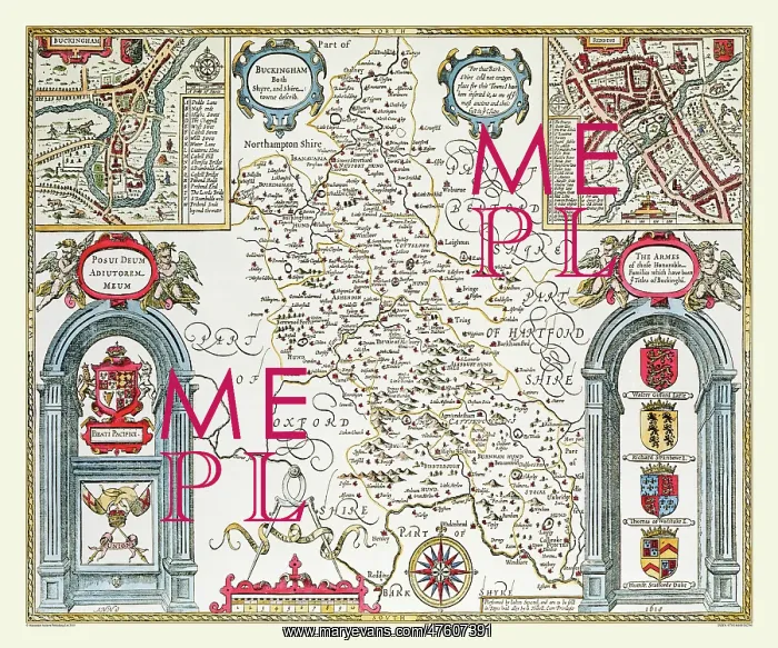
17th Century map of the County of Buckinghamshire, England
At the top corner are town plans of Buckingham and, curiously, Reading. Speed has added a note, explaining that as there was not room for the Reading plan on his map of Berkshire, as it is one of the most ancient and chiefest towns in the county, he has added it to the Bucks one. On the bottom corners of the map are engraved arches, containing the coats of arms of the honourable families of the area and the Royal Arms. The boundaries of the hundreds, large estates, towns, some villages, hills and rivers and shown. The River Thames forms the southern boundary of the county
Picture No
10825415
Media ID
47607391
Size
9000px x 7500px
(39.1MB)
Credit
Mary Evans Picture Library/Mapseeker Publishing
Source
Originally Published by John Speed, digitally re-mastered from an antique original by Mapseeker Publishing
Date
1611



























