
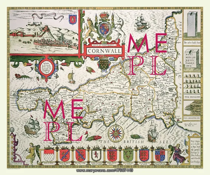
17th Century map of the County of Cornwall, England
This beautifully decorative map of Cornwall by John Speed is probably the most popular of the counties. It is divided into hundreds. There is an inset of Launceston or Dunheved - the ancient capital. A set of coats of arms of the earls of Cornwall are displayed along the bottom of the map. It has a large sea area filled with ships and sea monsters
Picture No
10825418
Media ID
47607449
Size
9000px x 7500px
(38.7MB)
Credit
Mary Evans Picture Library/Mapseeker Publishing
Source
Originally Published by John Speed, digitally re-mastered from an antique original by Mapseeker Publishing
Date
1611



























