
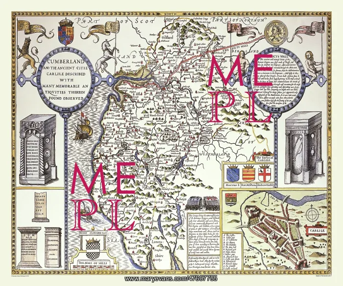
17th Century map of the County of Cumberland, England
John Speed's map of Cumberland, along with the other border counties shows no divisions into hundreds. Hills are shown in the South and North and most of the habitation is in the middle of the county. Speed has drawn Hadrian's Wall or Pict's Wall as he calls it right along the North with a lengthy description. The antiquities drawn are Roman altars that had been excavated in the area. There is a town plan of Carlisle which is quite a small walled city
Picture No
10825419
Media ID
47607755
Size
9000px x 7500px
(54MB)
Credit
Mary Evans Picture Library/Mapseeker Publishing
Source
Originally Published by John Speed, digitally re-mastered from an antique original by Mapseeker Publishing
Date
1611



























