
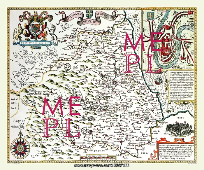
17th Century map of the County of Durham, England
The Bishopric and Citie of Durham is the title of this map of the County of Durham by John Speed 1611. It has a view of the city in the top right hand corner accompanied by a detailed description of its history. There is also an illustration and description of the Battle of Neville's Cross in 1346. On the top left of the map is a coat of arms and a very attractive compass rose at the bottom
Picture No
10825422
Media ID
47607466
Size
9000px x 7500px
(45.0MB)
Credit
Mary Evans Picture Library/Mapseeker Publishing
Source
Originally Published by John Speed, digitally re-mastered from an antique original by Mapseeker Publishing
Date
1611



























