
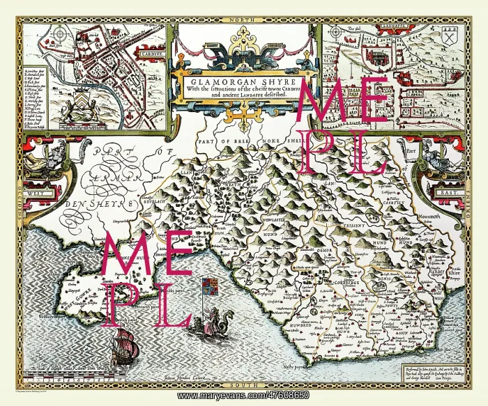
17th Century map of the County of Glamorganshire, Wales
This is a very attractive map of Glamorganshire by John Speed. 1611. The title is placed in the centre top surrounded with strapwork. Each top corner contains town plans of Cardiff and Landaff, the map is balanced with other decorative work as well as two mythical figures. In the sea are a galleon and a woman riding a sea monster
Picture No
10825457
Media ID
47608650
Size
9000px x 7500px
(52MB)
Credit
Mary Evans Picture Library/Mapseeker Publishing
Source
Originally Published by John Speed, digitally re-mastered from an antique original by Mapseeker Publishing
Date
1611
Pick your License
1611 Cartographic Charts Glamorgan Glamorganshire Speede
Features In These Collections
> Contributors > MPS



























